

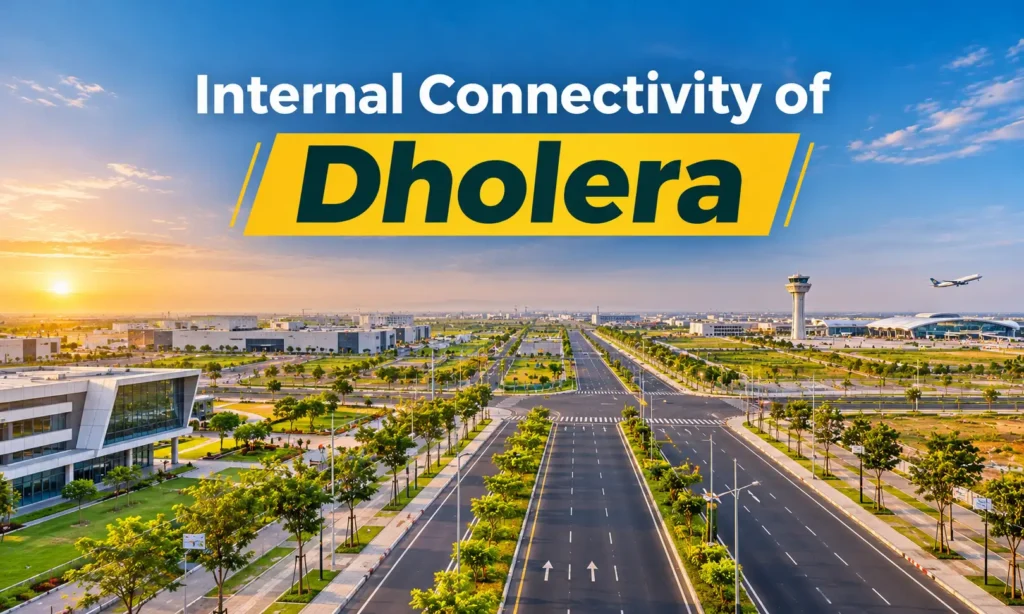
Most Dholera conversations start with the Ahmedabad expressway. But a city’s daily value depends on something else: how easily people, goods and services move once they are inside it.
That is the question of internal connectivity, and Dholera Special Investment Region (SIR) answers it only in part so far. Its first phase has a built road grid, while later phases depend on town planning schemes still being developed.
This guide explains the internal connectivity of Dholera as of November 2026: what exists today, what is under way, and what is still a plan.
How Dholera Is Planned to Move
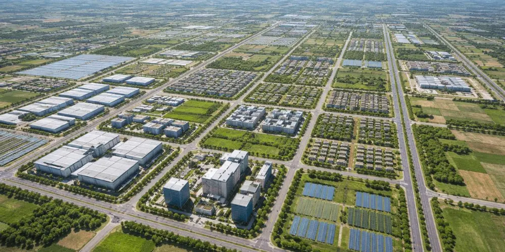
Dholera SIR covers 920 sq km on the Delhi-Mumbai Industrial Corridor, about 100 km south-west of Ahmedabad. Of this, 422 sq km is developable, so the city is being built in phases.
The basic planning unit is the Town Planning (TP) scheme. Each scheme sets out the roads and plots for one part of the city. Phase 1 covers TP1 and TP2 across 153 sq km.
The first zone to be built is the Activation Area. It spans 22.54 sq km under TP 2A and 4A, with land for industrial, residential and commercial use. That is only about one-twentieth of the developable land.
So when you hear about Dholera’s wide roads and smart infrastructure, this is the zone being described. It is also where Tata Electronics is building its semiconductor fab, which makes it the city’s first real test of internal movement.
This matters because the internal connectivity of Dholera will shape daily life more than any single headline project. Workers need short trips to factories. Trucks need direct routes to the expressway. Residents need easy access to schools, hospitals and shops.
The 72 km Road Network in the Activation Area
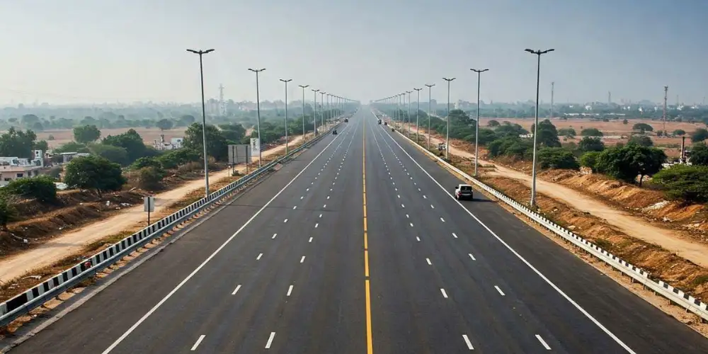
The Activation Area has an internal road network of 72 km. According to Dholera Industrial City Development Limited (DICDL), road widths range from 18 m to 70 m.
Local market guides describe the hierarchy broadly like this:
- 70 m roads: main arterial links between zones
- 55 m roads: secondary roads linking residential pockets to the arterials
- 18 m roads: local access roads within sectors
Development Plan documents also show a 250 m express road, which forms the larger spine of the region.
Utilities Run Under the Roads
Dholera’s roads do more than carry traffic. Water, wastewater, ICT, gas and storm water lines all run underground along this network.
This has a practical benefit. Industries can connect to ready services, which DICDL says cuts setup time and capital cost. Buried, planned services should also mean fewer surprise road cuts as the city grows.
Drainage matters here too. The area is low-lying, so storm water drains built under the 72 km network feed a 6.6 km central canal that carries it to the sea.
Traffic Is Monitored From the ABCD Building
The Administrative and Business Centre of Dholera (ABCD) houses the City Integrated Operations Centre. It monitors city traffic, public surveillance, utilities and emergency response across the Activation Area.
How the Expressway and NH-751 Connect With the City
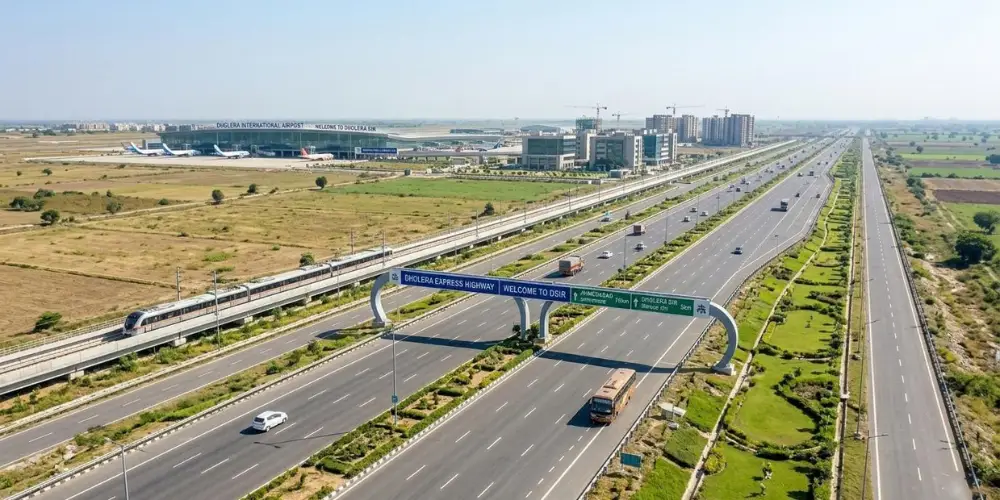
Internal roads need strong entry points. Dholera now has two major road routes running through it.
Ahmedabad-Dholera Expressway: This 109 km, four-lane, access-controlled road was inaugurated on 31 March 2026. It runs from Sarkhej in Ahmedabad to Adhelai in Bhavnagar district, passing through the SIR. Reported drive times range from about 45 minutes to an hour.
Project profiles name the Ambli interchange as the first within the SIR, giving direct access to the industrial and smart city zones.
For a plot buyer, the interchange matters more than the expressway itself. An access-controlled road can only be entered at set points, so a plot beside the highway may still be a long drive from the nearest entry.
NH-751: The existing Ahmedabad-Bhavnagar national highway passes directly through Dholera Industrial City. It gives the region a second road route alongside the expressway.
Work on the wider link continues. In September 2026, NHAI invited bids for a new interchange where the expressway meets Sardar Patel Ring Road in Ahmedabad.
Airport and Rail Links Within the Region
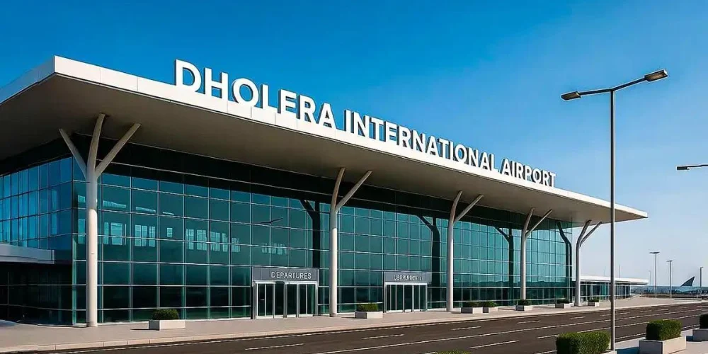
Three more projects will shape how traffic moves across the SIR. None of them is running yet.
Dholera International Airport: Located at Navagam, about 20 km from Dholera, the airport will connect to the expressway through a dedicated access road. An October 2026 state review put operations at the end of this year. Earlier targets have slipped, so treat this date as a target until flights begin.
Semi-high-speed rail: The Union Cabinet approved this 134 km double line on 13 May 2026 at about ₹20,667 crore. It will have 13 stations and run parallel to the expressway, linking Ahmedabad, Dholera SIR, the airport and Lothal. Operating speed is planned at 200 kmph, and officials estimate about 38 minutes from Sarkhej to Dholera Airport. Completion is targeted by 2030-31.
Bhimnath-Dholera freight line: This line of about 23 km will connect Dholera to the Western Railway network, and through it to the Dedicated Freight Corridor. It is meant for industrial logistics rather than daily commuters.
For internal movement, the details to watch are station locations and the feeder roads around them. A rail line helps a plot only if the plot can reach a station easily.
Walking, Cycling and Rapid Transit Plans
Dholera’s plans go beyond cars and trucks. DICDL describes pedestrian walkways, dedicated cycle lanes and corridors reserved for future rapid transit.
The land-use plan supports this approach. Industrial and residential zones sit close together to encourage a walk-to-work culture, which could shorten daily trips.
Social infrastructure helps as well. The Activation Area is getting a 200-bed hospital, an integrated school, a fire station and a food court, so residents may not need to travel far for daily needs.
A Note on Metro Claims
Many property listings mention metro connectivity, so read these claims carefully. Older plans proposed a mass rapid transit link between Ahmedabad and Dholera, and a 2023 government release mentioned BRT and MRT within a multi-modal system.
However, we could not confirm any approved metro line running inside Dholera. The approved passenger rail project today is the semi-high-speed line. A reserved corridor is land set aside for the future, not a working service.
What Is Built and What Plot Buyers Should Check
Here is the status of each link as of November 2026:
| Connectivity link | Current status |
| 72 km Activation Area roads | Built |
| Underground utility network | Built in the Activation Area |
| Ahmedabad-Dholera Expressway | Open since 31 March 2026 |
| NH-751 | In use |
| Dholera International Airport | Targeted by end of 2026 |
| Bhimnath-Dholera freight line | Under implementation |
| Semi-high-speed rail | Approved; target 2030-31 |
| Internal rapid transit | Corridor reserved; no service yet |
| Roads outside the Activation Area | Depends on each TP scheme |
The last row matters most for buyers. Being inside a TP scheme does not mean a finished road reaches your plot, as development on the ground varies by location.
Before you buy, check these points:
- TP scheme and final plot number: Match them against official records.
- Road status: Confirm whether the road serving the plot is built or only drawn on a plan.
- Road width and frontage: Find out the planned width of the road the plot actually faces.
- Real distance: Measure the route to the Activation Area, the expressway and the nearest interchange.
- Site visit: Drive the last stretch to the plot yourself.
In short, the internal connectivity of Dholera is strongest in the Activation Area today and should spread outward as more TP schemes are built.
Connectivity can support a location, but it does not guarantee a price rise. Verify every claim with the Dholera SIR Development Authority (DSIRDA) or official records before you pay.
FAQs on Internal Connectivity of Dholera
It is the network that moves people, goods and services within the SIR, including roads, utility corridors, planned transit and links to the expressway, airport and rail.
The Activation Area has 72 km of internal roads. This figure does not cover the whole 920 sq km SIR.
Activation Area roads range from 18 m to 70 m wide, according to DICDL.
No metro operates in Dholera today. We could not confirm an approved internal line, though corridors are reserved for future rapid transit.
Yes. The 109 km expressway was inaugurated on 31 March 2026.